

Online geotechnical design software.
Fifty-three calculation modules for foundations, piles, walls, excavations, slopes and liquefaction: the drawing, the checks, every step of the working and the report.
First 7 days: every module free, on screen. Then Monthly $99 or Annual $999.
-
1
Sign up free
Create your GeoTerva account.
-
2
Open a module
In your browser, nothing to install.
-
3
Work anywhere
Desktop, tablet or phone, the same modules.


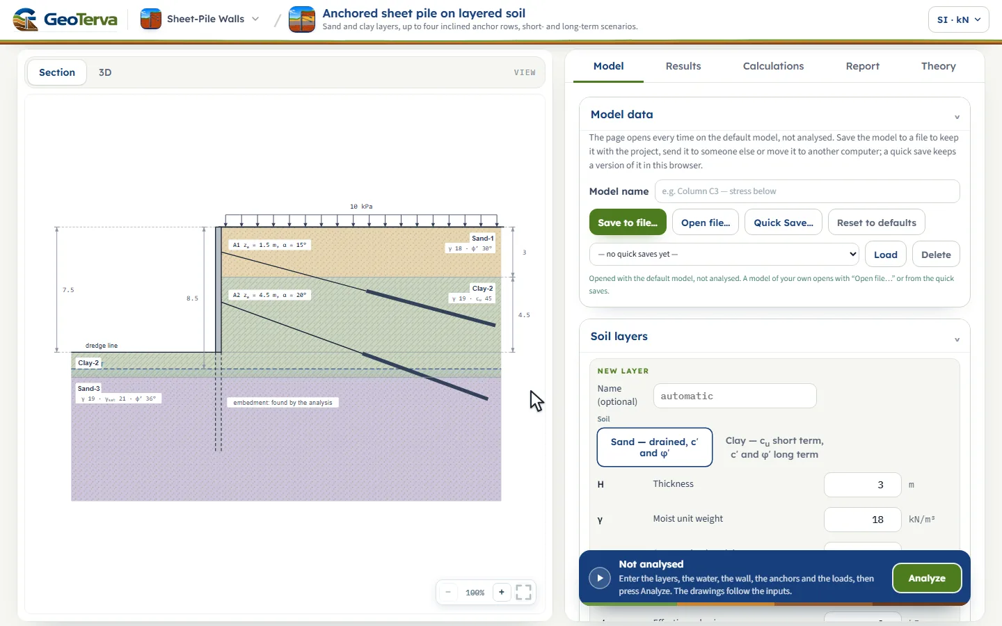
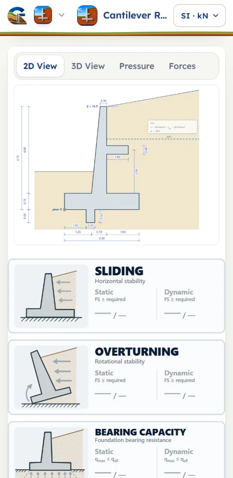
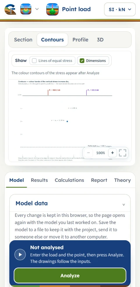
The same four tabs in every module, from a footing to a slope.
Every module opens on a worked example you can change. Build the model on the drawing, press Analyze, then read the result as a verdict, as a calculation or as theory. The pictures below are the modules themselves.
Eleven families. Fifty-three modules.
Each family has its own page: what it covers, what every module asks for and gives back, and the screens of each module on its worked example.
Before you start.
Do I need to install anything?
No. GeoTerva runs in the browser, on a phone, a tablet or a computer. There is nothing to install and no dongle.
Can I try a module without an account?
Yes. Eleven modules open on a worked example from the Try it page, with no account. In them the reports and model files are locked.
What do the first 7 days include?
A free account opens all 53 modules for 7 days, with every value open and every unit system, to work with on screen. Saving, the calculation reports and the model files are not part of the first 7 days, with a free account or with a plan; they start with the paid period of Monthly or Annual, which keep every module.
Which unit systems are there?
SI, SI-tf and US, in every module.
Can I read the theory without an account?
Yes. The theory pages are free to read and need no sign-up. Each one ends with a button that opens the module on the same worked example.
Can I use it on a phone?
Yes. Every module is laid out for the phone, the tablet and the desktop. Apps for Android and iPhone are coming soon.
Ground work, worked out.
From the first borehole log to the signed report, the calculations of a geotechnical project in one place.